PROUDLY PARTNERED WITH

.jpg)
.jpg)

Anditi provides high-quality spatial data for geographic information systems (GIS) and spatial analysis applications. Specialising in remote sensing data analysis and source data from 360-degree satellite and aerial imagery, as well as aerial and mobile LiDAR (light detection and ranging) data.

GIS & SPATIAL ANALYSIS
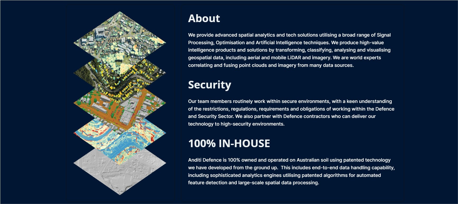
Anditi is an advanced Australian spatial analytics and tech company specialising in the transformation, classification, analysis and visualisation of geospatial data, including aerial, mobile, terrestrial LiDAR, 360-degree aerial and satellite imagery.
Using our proprietary software, our algorithm developers, data scientists and GIS data specialists utilise the latest analytical techniques such as machine learning and AI to create value-added products. We help clients to maximise their investment by using data as a renewable resource in areas such as built environment, terrain and vegetation, drainage and overland flow, asset management, road corridor assets and road safety.
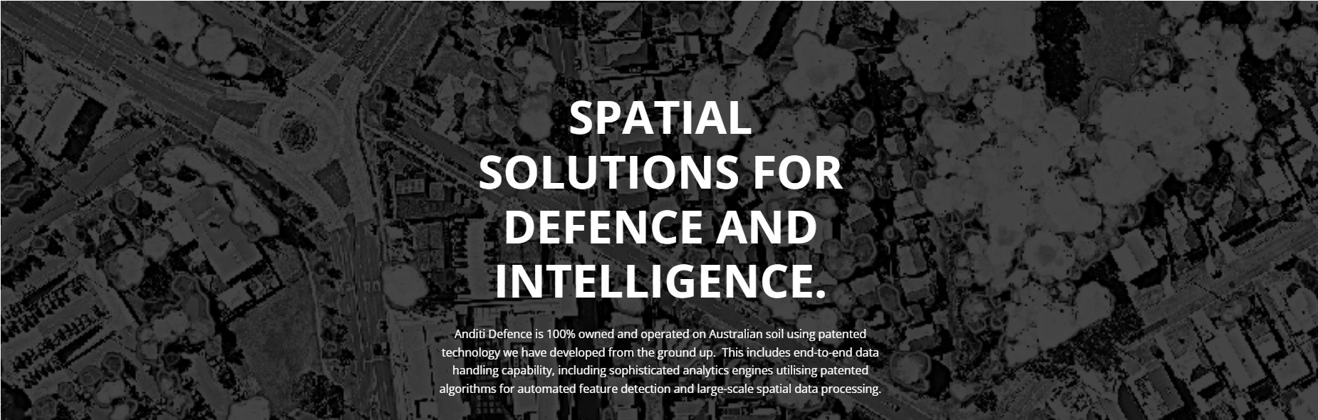
SPATIAL SOLUTIONS FOR DEFENCE AND INTELLIGENCE
At Anditi, we love nothing better than to empower customers through precise spatial analytics.
We’re experts in analysing the spatial attributes of natural and built environments to provide insights that help our state and local governments make better urban planning decisions, monitor green strategies, and asset optimisation.
Anditi Defence is 100% owned and operated on Australian soil using patented technology we have developed from the ground up. This includes end-to-end data handling capability, including sophisticated analytics engines utilising patented algorithms for automated feature detection and large-scale spatial data processing.
What is LiDAR?
LIDAR (Light Detection and Ranging) is an active remote sensing method, where a sensor emits and captures short wavelengths of light to measure objects in high resolution. Urban areas are complex environments, and the ability of LiDAR to measure in three dimensions makes it more accurate in measuring the proportion and spatial distribution of tree canopies across these areas. LIDAR data sets are not limited to the tree canopy and vegetation of urban areas but can also provide high accuracy models for building footprints, digital terrain, and flood modelling.

.png)
.jpg)
partners and clients of bonboo
Providing Capability to:
.jpg)
Network and Supporting Partners:
.jpg)
Bonboo Proudly Supports Veterans
.png)
Bonboo is JOSCAR Registered

Member of The Australian Institute of Professional Intelligence Officers (MAIPIO)

)